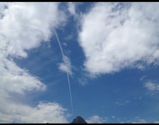
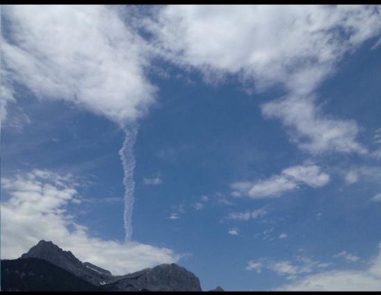
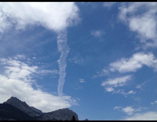
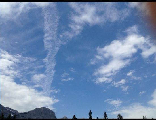
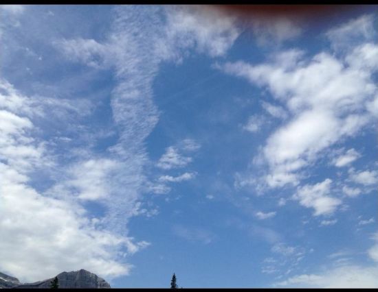
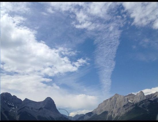
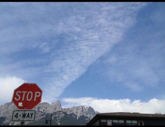
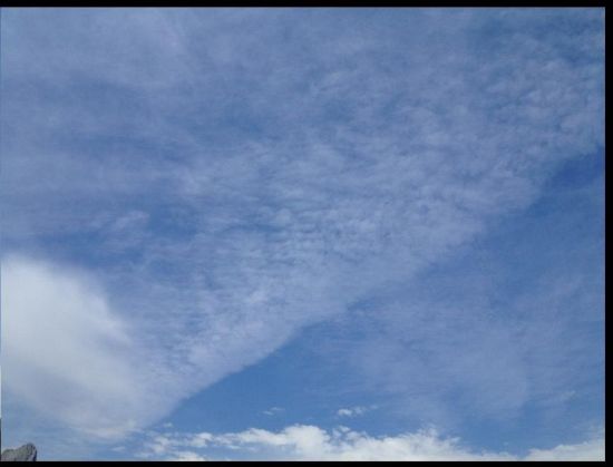
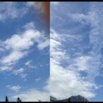
The following is a series of photographs taken by Adam Dwyer:
“2012-07-09 Canmore, AB, Canada, 30min span while I was caught in traffic this morning”
~Adam Dwyer
The photographs depict how the trails start to spread and replace existing natural clouds with its own geoengineering aerosol spray, creating artificial cloud formations, generally in under 30 minutes.
Chemtrail debunkers say that these types of trails are not a threat, but evidence points to the contrary; these types of trails have become a very serious problem in our environment. Along with the disappearance of natural rain clouds, after spraying, we observed that rain is significantly delayed. (In some instances, no rain at all.) This is a global occurrence that seems to be the primary cause of the record breaking droughts we are experiencing in places all around the globe.
Humanity needs to understand just how dangerous chemtrails are as well arm themselves with knowledge . ALL trails in our skies are reckless actions, crimes against all living beings. So regardless of what you want to call them, contrails or chemtrails, they must be stopped. In the 21st century “we sowed the wind and reaped the whirlwind” with the geo-engineering and we must put an end to it now.

My mom lives in Clearlake and now she has Morgellons and lost her hair! I hate this crap government we live in. Satans lame world! I can not wait for the day God steps in and ends this mess of an evil prison world we live. I fill so alien to his imperfect world full
Of kaos. And people think this is normal? That the world is going to get better while human’s are in charge? Not a chance!
[…] Previous article shows photos from Adam Dwyer showing trails turning into clouds. If this is not enough, scientists also notice it: […]
Here’s something for the debunkers to consider – I visit a section of shoreline on Clear Lake in Northern Calif. Now I notice a plane skimming over the ridge to my East, basically in the direction of the city of Clear Lake. This means the plane is at an elevation of approximately 4,400 feet. Then the plane angles up, so that within a minute it is overhead at 20,000 feet. Then a minute or two later, it is skimming over the shoulder of Mt Konocti, some nine minutes from the first ridge it went over. it is back down in the 4,500 to 4,700 ft of altitude. Who would let a normal commercial jet fly this way/ Who would let military jets fly this way? What is the explanation, that a plane can do this, and in a space of only 9 to 11 miles, go from 4,400 ft to 20K and then back down again. With the maneuver repeated by other planes all day long!
Chemtrail Expansion Time-Lapse
http://www.youtube.com/watch?v=nZCsd22-Tek